How do scholars present expert research on a physical object — a manuscript, a painting, a piece of textile — to audiences who may never handle it, may not read the relevant languages, and are unlikely to encounter a conventional academic publication? This was the question at the center of the digital storytelling initiative, which set out to develop platforms and methodologies for object-based digital narratives that could reach general audiences, students, and communities without sacrificing scholarly rigor.
The initiative grew out of Colonial Landscapes (Paisajes Coloniales), an interactive bilingual platform developed by Santiago Muñoz in 2020 that explores the history of the region around Bogotá through a 1614 map. Colonial Landscapes demonstrated that it was possible to create a rich, accessible, pedagogically sophisticated visual narrative around a digitized object — guiding general audiences and students through the map, using its specific details as anchors for historical analysis — as a simple static website with no ongoing hosting costs. The digital storytelling initiative set out to generalize that approach, testing it through a series of collaborative scholarly projects.
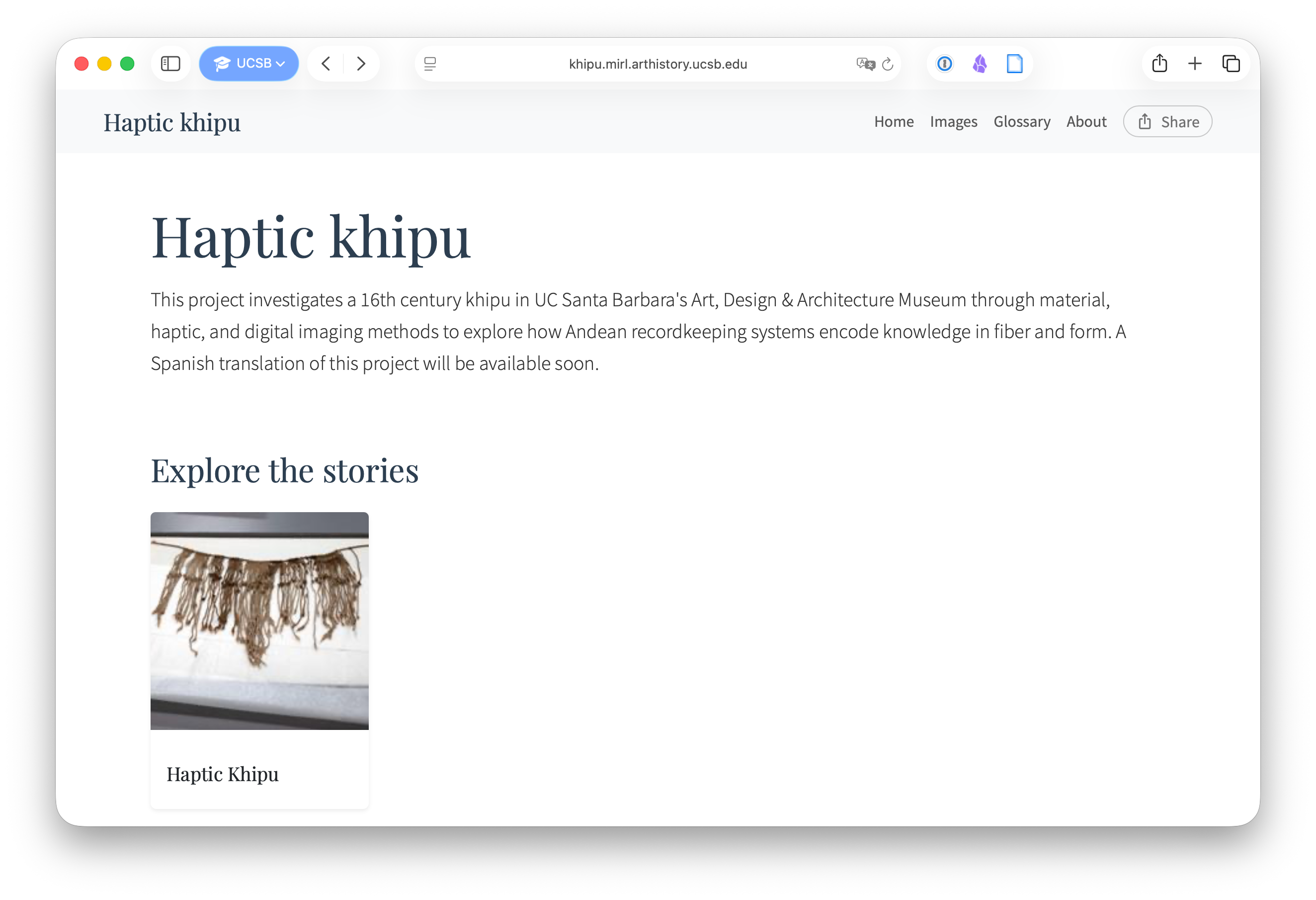
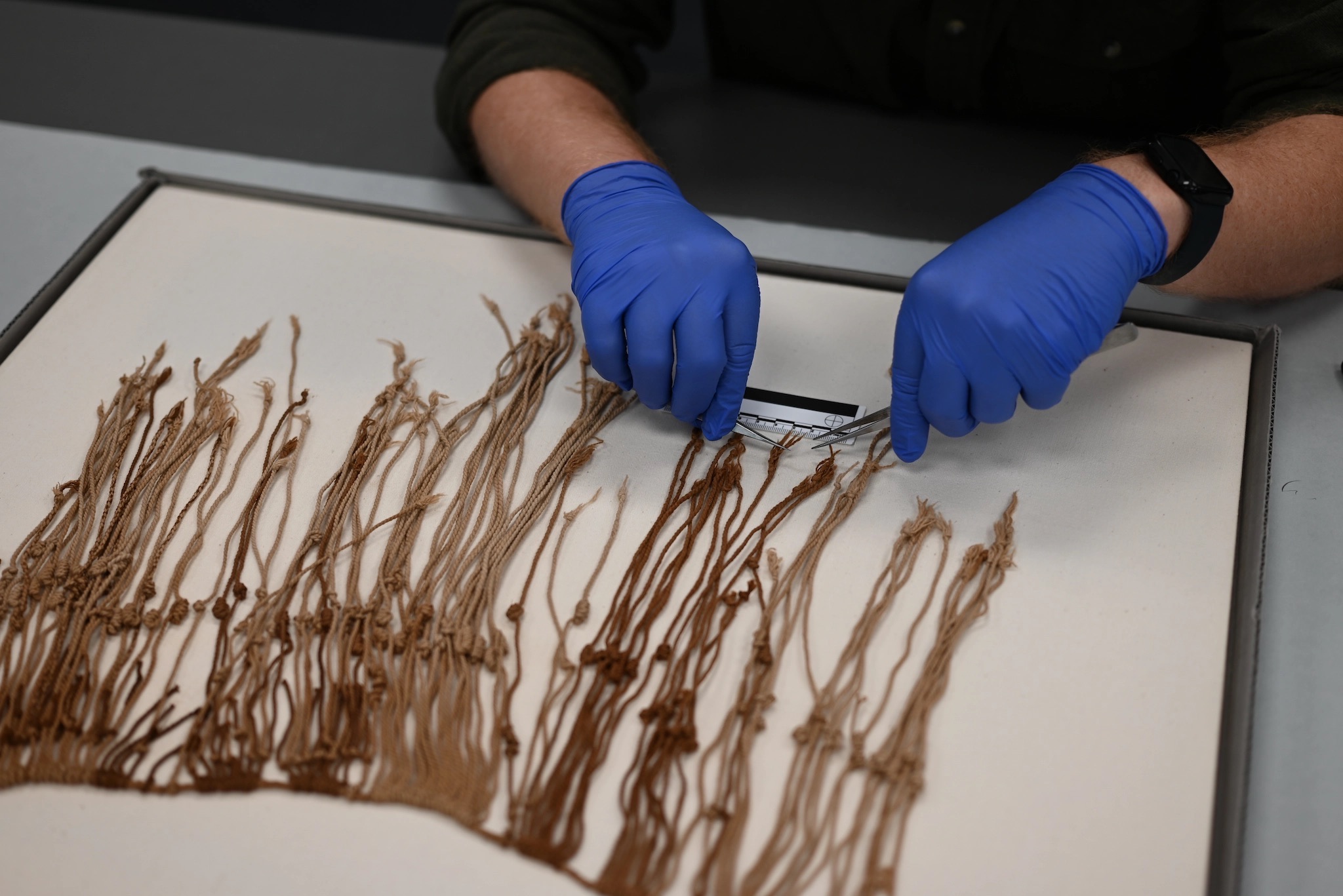
The first collaborative project was Haptic Khipu, led by the Material/Image Research Lab (MIRL) in UCSB’s History of Art and Architecture department, in collaboration with AMPL. Khipus — knotted-cord recording devices used across the Andes to encode numerical, administrative, and perhaps narrative information — are among the most challenging objects to study, let alone communicate: the direction of each cord’s twist, the type and placement of its knots, the color and fiber of the threads are themselves data, and a screen can only take you so far. Haptic Khipu drew on MIRL’s work examining a 16th-century example held in UCSB’s Art, Design & Architecture Museum — a gift of Dr. Stephen S. Goodspeed and Mrs. John Goodspeed Ainsworth — through material analysis, tactile examination, and high-resolution digital imaging, with the aim of understanding how Andean recordkeeping systems encoded knowledge in fiber and form.
The publication presents this research as an interactive visual narrative built with Telar. Rather than a conventional article or exhibition catalog, it guides readers through the object step by step, pairing high-resolution images with analytical observations and allowing anyone with a browser to zoom into the specific details that anchor the argument. It is freely available at khipu.mirl.arthistory.ucsb.edu. A Spanish translation is in preparation.
The other side of the project, the work to create a platform in which to create publications of this kind, eventually became Telar, AMPL’s open-source visual storytelling framework.